Geolocate

Kitengela topographic map

Click on the map to display elevation.

About this map

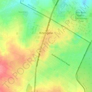
Name: Kitengela topographic map, elevation, terrain.

Location: Kitengela, Kajiado County, Kenya (-1.49871 36.93888 -1.46168 36.97820)

Average elevation: 1,562 m

Minimum elevation: 1,521 m

Maximum elevation: 1,603 m

Gear up for your next adventure:

🧤Hiking Gloves - Warm and durable gloves for cold-weather walks
📢Survival Whistles - Essential safety gear for signaling for help in mountain fog
🛌Sleeping Bags - Warm and packable sleeping bags for outdoor nights
🗺️Ordnance Survey Maps - Official UK maps for walking and outdoor activities
🧥Packable Down Jackets - Lightweight warmth that compresses small in your bag

As an Amazon Associate, this site earns from qualifying purchases at no extra cost to you.