
Camanti topographic map
Interactive map
Click on the map to display elevation.
About this map
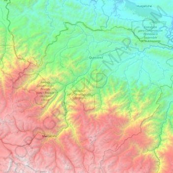
Name: Camanti topographic map, elevation, terrain.
Location: Camanti, Quispicanchi, Cusco, Perú (-13.66265 -71.16174 -13.06700 -70.34507)
Average elevation: 2,234 m
Minimum elevation: 304 m
Maximum elevation: 6,033 m
Other topographic maps
Click on a map to view its topography, its elevation and its terrain.