
Nhân Thịnh topographic map
Interactive map
Click on the map to display elevation.
About this map
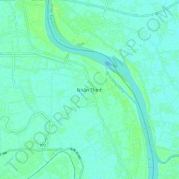
Name: Nhân Thịnh topographic map, elevation, terrain.
Location: Nhân Thịnh, Lý Nhân District, Ha Nam province, Vietnam (20.51130 106.10932 20.59130 106.18932)
Average elevation: 4 m
Minimum elevation: -1 m
Maximum elevation: 10 m
Other topographic maps
Click on a map to view its topography, its elevation and its terrain.
Lý Nhân District
Vietnam > Ha Nam province > Lý Nhân District
Lý Nhân District, Ha Nam province, Vietnam
Average elevation: 4 m