
Benito Juárez topographic map
Interactive map
Click on the map to display elevation.
About this map
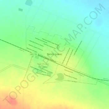
Name: Benito Juárez topographic map, elevation, terrain.
Location: Benito Juárez, Tlaxcala, Mexico (19.57936 -98.43501 19.59365 -98.41972)
Average elevation: 2,531 m
Minimum elevation: 2,507 m
Maximum elevation: 2,559 m