
Forestal topographic map
Interactive map
Click on the map to display elevation.
About this map
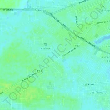
Name: Forestal topographic map, elevation, terrain.
Location: Forestal, Río Gallegos, Güer Aike, SC, Argentinien (-51.64029 -69.27417 -51.61810 -69.25064)
Average elevation: 14 m
Minimum elevation: 9 m
Maximum elevation: 20 m