
La Papeterie topographic map
Interactive map
Click on the map to display elevation.
About this map
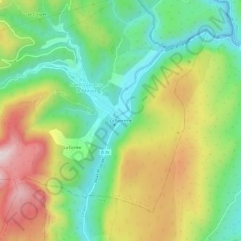
Name: La Papeterie topographic map, elevation, terrain.
Average elevation: 364 m
Minimum elevation: 145 m
Maximum elevation: 686 m
Other topographic maps
Click on a map to view its topography, its elevation and its terrain.
Cascade de La Vis
France > Occitanie > Gard > Saint-Laurent-le-Minier
Cascade de La Vis, Saint-Laurent-le-Minier, Le Vigan, Gard, Occitanie, France métropolitaine, 30440, France
Average elevation: 353 m