
Make a donation
Gear up for your next adventure:
As an Amazon Associate, this site earns from qualifying purchases at no extra cost to you.
Laguna Colorada topographic map
Click on the map to display elevation.
Make a donation
Gear up for your next adventure:
As an Amazon Associate, this site earns from qualifying purchases at no extra cost to you.
About this map
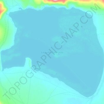
Name: Laguna Colorada topographic map, elevation, terrain.
Average elevation: 4,302 m
Minimum elevation: 4,286 m
Maximum elevation: 4,497 m
Make a donation
Gear up for your next adventure:
As an Amazon Associate, this site earns from qualifying purchases at no extra cost to you.
Other topographic maps
Click on a map to view its topography, its elevation and its terrain.
Laguna Salada
Bolivia > Potosí > Provincia Sur Lípez > Municipio San Pablo de Lipez
Average elevation: 4,390 m
Uturuncu
Bolivia > Potosí > Provincia Sur Lípez > Municipio San Pablo de Lipez
At an elevation of 6,008 metres (19,711 ft), Uturuncu is the highest mountain in southwestern Bolivia. It dominates the regional geomorphology, rising about 1,510–1,670 metres (4,950–5,480 ft) above the surrounding terrain and presenting a good view of the surrounding mountains from the summit. The volcano…
Average elevation: 5,594 m
Quetena Chico
Bolivia > Potosí > Provincia Sur Lípez > Municipio San Pablo de Lipez > Quetena Chico
Average elevation: 4,196 m