
Galala topographic map
Interactive map
Click on the map to display elevation.
About this map
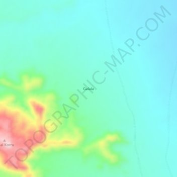
Name: Galala topographic map, elevation, terrain.
Location: Galala, Al Fasher, North Darfur State, Sudan (13.41652 24.84016 13.45652 24.88016)
Average elevation: 919 m
Minimum elevation: 862 m
Maximum elevation: 1,120 m
Other topographic maps
Click on a map to view its topography, its elevation and its terrain.
Al-Fashir
Sudan > North Darfur State > Al Fasher
Al-Fashir, Al Fasher, North Darfur State, Sudan
Average elevation: 753 m