
Villa de Zaachila topographic map
Interactive map
Click on the map to display elevation.
About this map
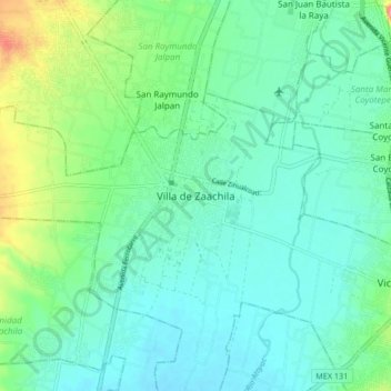
Name: Villa de Zaachila topographic map, elevation, terrain.
Location: Villa de Zaachila, Oaxaca, 71313, México (16.91083 -96.78917 16.99083 -96.70917)
Average elevation: 1,518 m
Minimum elevation: 1,492 m
Maximum elevation: 1,602 m