
Stöllet topographic map
Interactive map
Click on the map to display elevation.
About this map
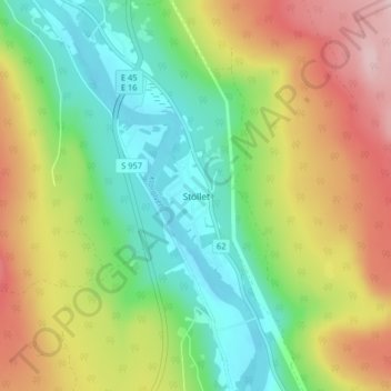
Name: Stöllet topographic map, elevation, terrain.
Location: Stöllet, Torsby kommun, Provincia de Värmland, 680 51, Suecia (60.39005 13.24975 60.43005 13.28975)
Average elevation: 228 m
Minimum elevation: 138 m
Maximum elevation: 358 m