
Grana topographic map
Interactive map
Click on the map to display elevation.
About this map
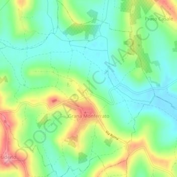
Name: Grana topographic map, elevation, terrain.
Location: Grana, AT, Piamonte, Italia (44.98838 8.27583 45.01714 8.31459)
Average elevation: 217 m
Minimum elevation: 174 m
Maximum elevation: 294 m