
Rånnesta topographic map
Interactive map
Click on the map to display elevation.
About this map
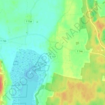
Name: Rånnesta topographic map, elevation, terrain.
Location: Rånnesta, Örebro, Örebro kommun, Örebro County, 705 92, Sweden (59.31400 15.04489 59.35400 15.08489)
Average elevation: 52 m
Minimum elevation: 37 m
Maximum elevation: 79 m