
Ceresa topographic map
Interactive map
Click on the map to display elevation.
About this map
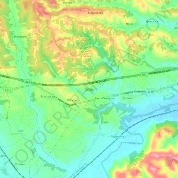
Name: Ceresa topographic map, elevation, terrain.
Location: Ceresa, Asti, Piamonte, 14016, Italia (44.88058 8.11755 44.92058 8.15755)
Average elevation: 169 m
Minimum elevation: 122 m
Maximum elevation: 244 m