
Saryagash topographic map
Interactive map
Click on the map to display elevation.
About this map
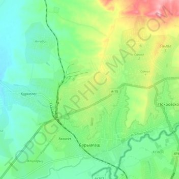
Name: Saryagash topographic map, elevation, terrain.
Location: Saryagash, Saryagash District, Turkistan Region, Kazakhstan (41.43684 69.14429 41.50646 69.22283)
Average elevation: 435 m
Minimum elevation: 383 m
Maximum elevation: 546 m