
Río Andarax topographic map
Interactive map
Click on the map to display elevation.
About this map
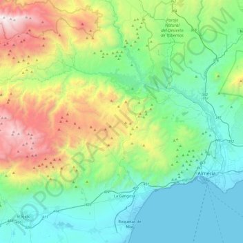
Name: Río Andarax topographic map, elevation, terrain.
Location: Río Andarax, Bentarique, Almería, Andalucía, 04470, España (36.81107 -2.89560 37.03186 -2.42539)
Average elevation: 641 m
Minimum elevation: -2 m
Maximum elevation: 2,450 m