
Lazrou topographic map
Interactive map
Click on the map to display elevation.
About this map
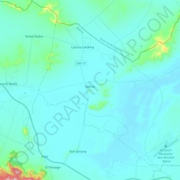
Name: Lazrou topographic map, elevation, terrain.
Location: Lazrou, Daïra de Seriana, Batna, Algérie (35.73356 6.16741 35.87455 6.36786)
Average elevation: 837 m
Minimum elevation: 797 m
Maximum elevation: 1,241 m