
Pesse topographic map
Interactive map
Click on the map to display elevation.
About this map
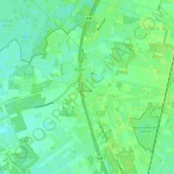
Name: Pesse topographic map, elevation, terrain.
Location: Pesse, Hoogeveen, Drenthe, Pays-Bas (52.74651 6.41013 52.80056 6.49616)
Average elevation: 13 m
Minimum elevation: 7 m
Maximum elevation: 18 m