
Horn Lake topographic map
Interactive map
Click on the map to display elevation.
About this map
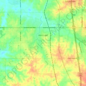
Name: Horn Lake topographic map, elevation, terrain.
Location: Horn Lake, DeSoto County, Mississippi, 38637, United States (34.91864 -90.09656 34.97733 -89.99737)
Average elevation: 92 m
Minimum elevation: 70 m
Maximum elevation: 115 m