
Sangal topographic map
Interactive map
Click on the map to display elevation.
About this map
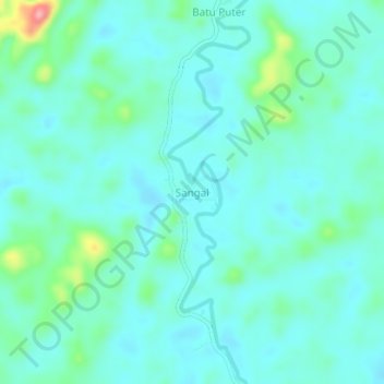
Name: Sangal topographic map, elevation, terrain.
Location: Sangal, Kalimantan Tengah, Indonesia (-1.15082 113.52333 -1.11082 113.56333)
Average elevation: 65 m
Minimum elevation: 43 m
Maximum elevation: 163 m