
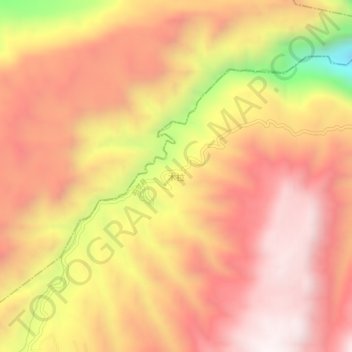
Mula topographic map
Interactive map
Click on the map to display elevation.
About this map
Name: Mula topographic map, elevation, terrain.
Average elevation: 2,558 m
Minimum elevation: 1,866 m
Maximum elevation: 2,931 m
Other topographic maps
Click on a map to view its topography, its elevation and its terrain.
Nidi
China > Sichuan > Zhaojue County
Nidi, Zhaojue County, Liangshan Yi Autonomous Prefecture, Sichuan, China
Average elevation: 3,207 m