
Guire topographic map
Interactive map
Click on the map to display elevation.
About this map
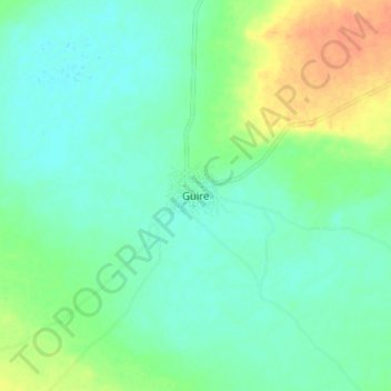
Name: Guire topographic map, elevation, terrain.
Location: Guire, Nara Cercle, Koulikoro, Mali (14.60172 -6.73185 14.68172 -6.65185)
Average elevation: 267 m
Minimum elevation: 255 m
Maximum elevation: 292 m