
Meadow Lake topographic map
Interactive map
Click on the map to display elevation.
About this map
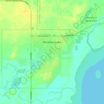
Name: Meadow Lake topographic map, elevation, terrain.
Location: Meadow Lake, Division No. 17, Saskatchewan, Canada (54.10678 -108.49048 54.14361 -108.40175)
Average elevation: 479 m
Minimum elevation: 471 m
Maximum elevation: 491 m
Other topographic maps
Click on a map to view its topography, its elevation and its terrain.