
Shelby topographic map
Interactive map
Click on the map to display elevation.
About this map
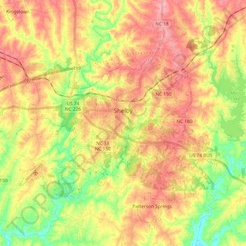
Name: Shelby topographic map, elevation, terrain.
Location: Shelby, Cleveland County, North Carolina, United States (35.23918 -81.63692 35.33040 -81.46063)
Average elevation: 248 m
Minimum elevation: 188 m
Maximum elevation: 301 m
Other topographic maps
Click on a map to view its topography, its elevation and its terrain.
Ora
United States > North Carolina > Cleveland County > Shelby
Ora, Shelby, Cleveland County, North Carolina, 28150, United States
Average elevation: 245 m