
Zone humide communautaire Saint-Genès-Champanelles topographic map
Interactive map
Click on the map to display elevation.
About this map
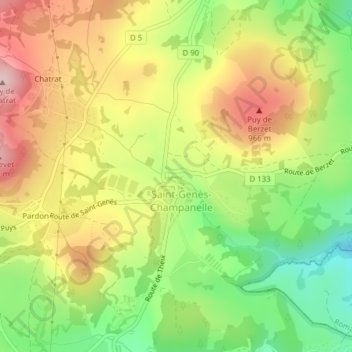
Name: Zone humide communautaire Saint-Genès-Champanelles topographic map, elevation, terrain.
Average elevation: 877 m
Minimum elevation: 753 m
Maximum elevation: 1,005 m