
Rukubi topographic map
Interactive map
Click on the map to display elevation.
About this map
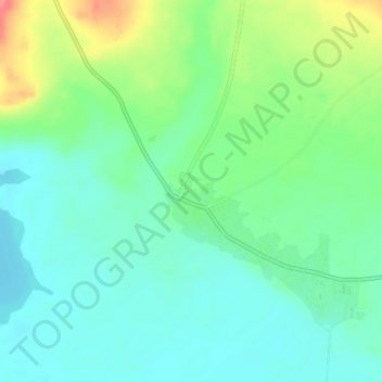
Name: Rukubi topographic map, elevation, terrain.
Location: Rukubi, Doma, Nasarawa State, Nigeria (7.91080 8.28500 7.95080 8.32500)
Average elevation: 77 m
Minimum elevation: 55 m
Maximum elevation: 127 m