
Roguliat topographic map
Interactive map
Click on the map to display elevation.
About this map
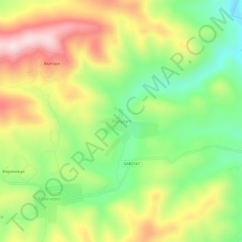
Name: Roguliat topographic map, elevation, terrain.
Location: Roguliat, Sevlievo, Gabrovo, 5439, Bulgaria (42.90708 24.91045 42.94708 24.95045)
Average elevation: 478 m
Minimum elevation: 298 m
Maximum elevation: 696 m
Other topographic maps
Click on a map to view its topography, its elevation and its terrain.