
Make a donation
Gear up for your next adventure:
As an Amazon Associate, this site earns from qualifying purchases at no extra cost to you.
Buttonwillow topographic map
Click on the map to display elevation.
Make a donation
Gear up for your next adventure:
As an Amazon Associate, this site earns from qualifying purchases at no extra cost to you.
Buttonwillow
Buttonwillow is an unincorporated community and census-designated place in the San Joaquin Valley, in Kern County, California. Buttonwillow is 26 miles (42 km) west of Bakersfield, at an elevation of 269 feet (82 m)). The population was 1,508 at the 2010 census, up from 1,266 at the 2000 census. The center of population of California is located in Buttonwillow.
Make a donation
Gear up for your next adventure:
As an Amazon Associate, this site earns from qualifying purchases at no extra cost to you.
About this map
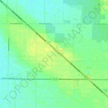
Name: Buttonwillow topographic map, elevation, terrain.
Average elevation: 87 m
Minimum elevation: 80 m
Maximum elevation: 95 m
Make a donation
Gear up for your next adventure:
As an Amazon Associate, this site earns from qualifying purchases at no extra cost to you.