
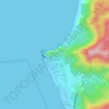
Cerro San Lorenzo topographic map
Interactive map
Click on the map to display elevation.
About this map
Name: Cerro San Lorenzo topographic map, elevation, terrain.
Location: Cerro San Lorenzo, San Lorenzo, Manta, Manabí, Ecuador (-1.05937 -80.90967 -1.05927 -80.90957)
Average elevation: 40 m
Minimum elevation: -1 m
Maximum elevation: 241 m