
Thank you for supporting this site ❤️
Make a donation
Make a donation
Gear up for your next adventure:
As an Amazon Associate, this site earns from qualifying purchases at no extra cost to you.
Bracken topographic map
Click on the map to display elevation.
Thank you for supporting this site ❤️
Make a donation
Make a donation
Gear up for your next adventure:
As an Amazon Associate, this site earns from qualifying purchases at no extra cost to you.
About this map
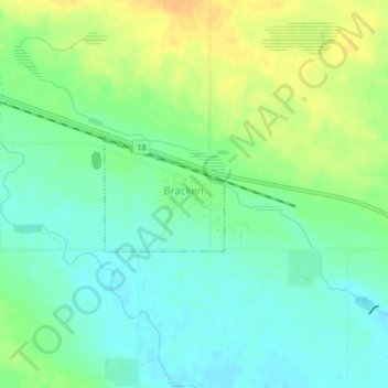
Name: Bracken topographic map, elevation, terrain.
Location: Bracken, Division No. 4, Saskatchewan, S0N 0G0, Kanada (49.17430 -108.10243 49.18229 -108.08968)
Average elevation: 888 m
Minimum elevation: 876 m
Maximum elevation: 905 m
Thank you for supporting this site ❤️
Make a donation
Make a donation
Gear up for your next adventure:
As an Amazon Associate, this site earns from qualifying purchases at no extra cost to you.