
Hausstock topographic map
Interactive map
Click on the map to display elevation.
About this map
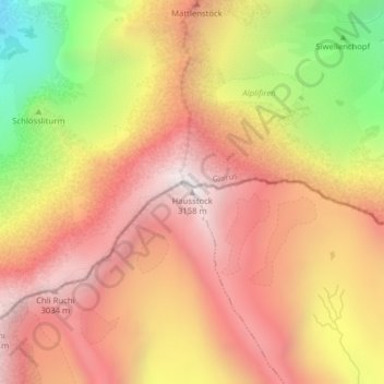
Name: Hausstock topographic map, elevation, terrain.
Location: Hausstock, Brigels, Surselva, Graubünden, Schweiz (46.87440 9.06550 46.87450 9.06560)
Average elevation: 2,525 m
Minimum elevation: 1,579 m
Maximum elevation: 3,139 m