
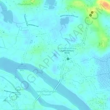
Puthenvelikara Pond topographic map
Interactive map
Click on the map to display elevation.
About this map
Name: Puthenvelikara Pond topographic map, elevation, terrain.
Average elevation: 7 m
Minimum elevation: -4 m
Maximum elevation: 37 m
Other topographic maps
Click on a map to view its topography, its elevation and its terrain.
Puthenvelikkara
India > Kerala > Puthenvelikkara
Puthenvelikkara, Ernakulam, Kerala, 683521, India
Average elevation: 6 m