
Hinggan topographic map
Interactive map
Click on the map to display elevation.
About this map
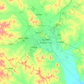
Name: Hinggan topographic map, elevation, terrain.
Location: Hinggan, Ulanhot, Hinggan League, Inner Mongolia, China (45.06701 121.04797 47.06701 123.04797)
Average elevation: 381 m
Minimum elevation: 132 m
Maximum elevation: 1,411 m