
Stewart River topographic map
Interactive map
Click on the map to display elevation.
About this map
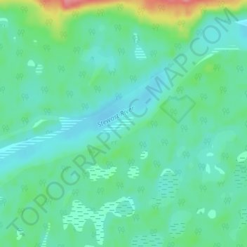
Name: Stewart River topographic map, elevation, terrain.
Location: Stewart River, Yukon, Unorganized, Yukon, Kanada (63.61391 -135.71415 63.61599 -135.70563)
Average elevation: 497 m
Minimum elevation: 478 m
Maximum elevation: 565 m
Other topographic maps
Click on a map to view its topography, its elevation and its terrain.