
Lingkar Selatan topographic map
Interactive map
Click on the map to display elevation.
About this map
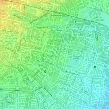
Name: Lingkar Selatan topographic map, elevation, terrain.
Average elevation: 691 m
Minimum elevation: 678 m
Maximum elevation: 707 m
Other topographic maps
Click on a map to view its topography, its elevation and its terrain.
Indonesia Tenggelam Park
Indonesia > West Java > Bandung City > Lebak Siliwangi
Average elevation: 767 m