
dharmsala topographic map
Interactive map
Click on the map to display elevation.
About this map
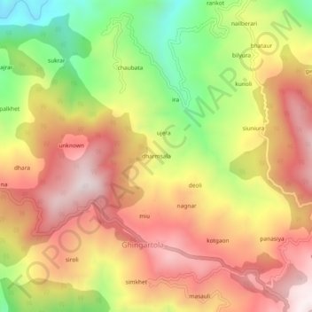
Name: dharmsala topographic map, elevation, terrain.
Location: dharmsala, Ghingartola, Bageshwar, Uttarakhand, 263619, India (29.82476 79.83065 29.86476 79.87065)
Average elevation: 1,429 m
Minimum elevation: 993 m
Maximum elevation: 1,774 m