
Bay of Kotor topographic map
Interactive map
Click on the map to display elevation.
About this map
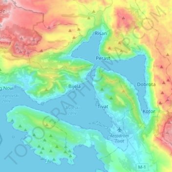
Name: Bay of Kotor topographic map, elevation, terrain.
Location: Bay of Kotor, Dobrota, Kotor Municipality, 85330, Montenegro (42.39133 18.50393 42.51718 18.77313)
Average elevation: 418 m
Minimum elevation: -3 m
Maximum elevation: 1,706 m