
Isola topographic map
Interactive map
Click on the map to display elevation.
About this map
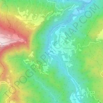
Name: Isola topographic map, elevation, terrain.
Location: Isola, Rovegno, Genova, Liguria, 16020, Italia (44.55545 9.25042 44.59545 9.29042)
Average elevation: 798 m
Minimum elevation: 529 m
Maximum elevation: 1,311 m
Other topographic maps
Click on a map to view its topography, its elevation and its terrain.