
Bantayog ng mga Bayani topographic map
Interactive map
Click on the map to display elevation.
About this map
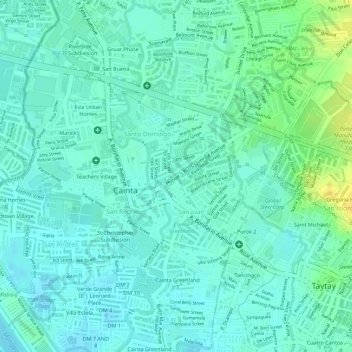
Name: Bantayog ng mga Bayani topographic map, elevation, terrain.
Average elevation: 10 m
Minimum elevation: 2 m
Maximum elevation: 28 m
Other topographic maps
Click on a map to view its topography, its elevation and its terrain.
Summer Green Subd. Phase II
Philippines > Rizal > Cainta
Summer Green Subd. Phase II, Cainta, Rizal, Calabarzon, 1900, Philippines
Average elevation: 8 m