
Waterschap Amstel, Gooi en Vecht topographic map
Interactive map
Click on the map to display elevation.
About this map
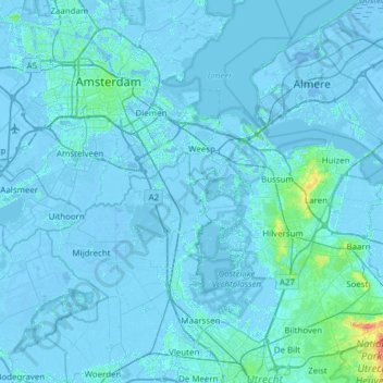
Name: Waterschap Amstel, Gooi en Vecht topographic map, elevation, terrain.
Location: Waterschap Amstel, Gooi en Vecht, Utrecht, Netherlands (52.09822 4.72288 52.43082 5.33546)
Average elevation: 0 m
Minimum elevation: -9 m
Maximum elevation: 49 m
Other topographic maps
Click on a map to view its topography, its elevation and its terrain.