
Lola topographic map
Interactive map
Click on the map to display elevation.
About this map
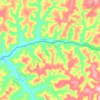
Name: Lola topographic map, elevation, terrain.
Location: Lola, Lunda Norte, Angola (-8.11282 17.79892 -8.08066 17.97581)
Average elevation: 730 m
Minimum elevation: 627 m
Maximum elevation: 862 m
Other topographic maps
Click on a map to view its topography, its elevation and its terrain.