Hudson Bay Mountain topographic map
Interactive map
Click on the map to display elevation.
About this map
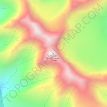
Name: Hudson Bay Mountain topographic map, elevation, terrain.
Average elevation: 2,064 m
Minimum elevation: 1,509 m
Maximum elevation: 2,558 m

Click on the map to display elevation.
Name: Hudson Bay Mountain topographic map, elevation, terrain.
Average elevation: 2,064 m
Minimum elevation: 1,509 m
Maximum elevation: 2,558 m