
McCook topographic map
Interactive map
Click on the map to display elevation.
About this map
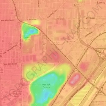
Name: McCook topographic map, elevation, terrain.
Location: McCook, Lyons Township, Cook County, Illinois, United States (41.78223 -87.85946 41.80617 -87.81206)
Average elevation: 184 m
Minimum elevation: 95 m
Maximum elevation: 216 m