
Bagworth Heath Woods topographic map
Interactive map
Click on the map to display elevation.
About this map
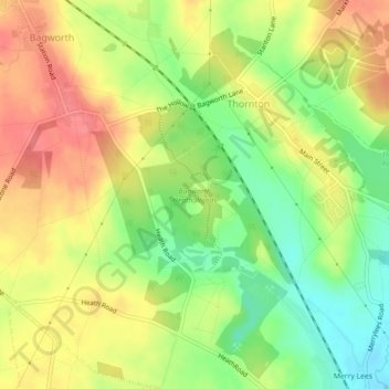
Name: Bagworth Heath Woods topographic map, elevation, terrain.
Average elevation: 138 m
Minimum elevation: 102 m
Maximum elevation: 170 m
Other topographic maps
Click on a map to view its topography, its elevation and its terrain.
Thornton Reservoir
United Kingdom > England > Leicestershire > Hinckley and Bosworth > Thornton
Thornton Reservoir, Bagworth & Thornton, Thornton, Hinckley and Bosworth, Leicestershire, England, United Kingdom
Average elevation: 139 m