
Goingarijp topographic map
Interactive map
Click on the map to display elevation.
About this map
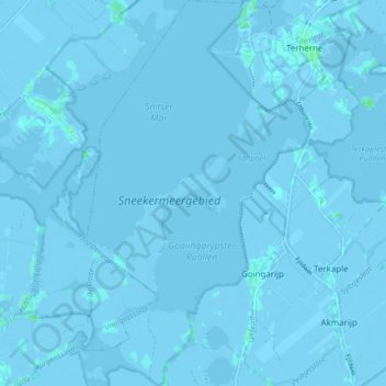
Name: Goingarijp topographic map, elevation, terrain.
Location: Goingarijp, De Fryske Marren, Friesland, Nederland (52.99623 5.73324 53.04684 5.78221)
Average elevation: -1 m
Minimum elevation: -7 m
Maximum elevation: 6 m