
Helio (man-made water point) topographic map
Interactive map
Click on the map to display elevation.
About this map
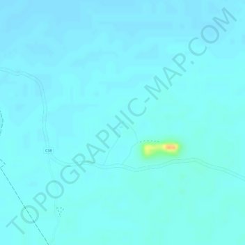
Name: Helio (man-made water point) topographic map, elevation, terrain.
Location: Helio (man-made water point), Oshikoto, Namibia (-19.03807 16.48880 -19.03797 16.48890)
Average elevation: 1,109 m
Minimum elevation: 1,105 m
Maximum elevation: 1,140 m
Other topographic maps
Click on a map to view its topography, its elevation and its terrain.