Geolocate

Clarence topographic map

Click on the map to display elevation.

About this map

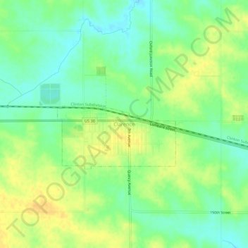
Name: Clarence topographic map, elevation, terrain.

Location: Clarence, Cedar County, Iowa, 52216, United States (41.86819 -91.07585 41.90819 -91.03585)

Average elevation: 252 m

Minimum elevation: 238 m

Maximum elevation: 267 m

Gear up for your next adventure:

🎒Hiking Daypacks - Compact backpacks ideal for short hikes and excursions
👟Waterproof Leg Gaiters - Keep mud and water out of your boots in boggy terrain
🧷Tenacious Repair Tape - Instant fix for torn tents, jackets, or dry bags
🥤Hydration Bladders - Hands-free hydration systems for backpacks
🧼Biodegradable Soap - Leave-no-trace hygiene for multi-day mountain treks

As an Amazon Associate, this site earns from qualifying purchases at no extra cost to you.