
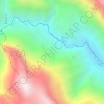
Las Pocitas "Grutas de Tolantongo" topographic map
Interactive map
Click on the map to display elevation.
About this map
Name: Las Pocitas "Grutas de Tolantongo" topographic map, elevation, terrain.
Average elevation: 1,544 m
Minimum elevation: 1,154 m
Maximum elevation: 2,088 m