
Wali Khel topographic map
Interactive map
Click on the map to display elevation.
About this map
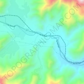
Name: Wali Khel topographic map, elevation, terrain.
Location: Wali Khel, Khyber Pakhtunkhwa, Pakistan (34.04946 71.19203 34.08946 71.23203)
Average elevation: 1,111 m
Minimum elevation: 901 m
Maximum elevation: 1,776 m