
Diu topographic map
Click on the map to display elevation.
About this map
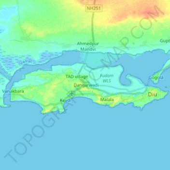
Name: Diu topographic map, elevation, terrain.
Average elevation: 6 m
Minimum elevation: -1 m
Maximum elevation: 37 m
Other topographic maps
Click on a map to view its topography, its elevation and its terrain.
Khanvel
India > Dadra and Nagar Haveli and Daman and Diu > Nagar Haveli > Khanvel
Average elevation: 101 m
Zampa Gate
India > Dadra and Nagar Haveli and Daman and Diu > Diu > Diu > Zampa Gate
Average elevation: 3 m