
Kiriya topographic map
Interactive map
Click on the map to display elevation.
About this map
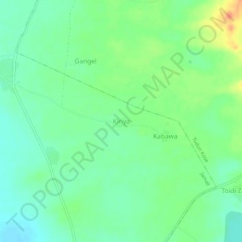
Name: Kiriya topographic map, elevation, terrain.
Location: Kiriya, Jamali, Binji, État de Sokoto, Nigéria (13.24128 4.89622 13.28128 4.93622)
Average elevation: 255 m
Minimum elevation: 239 m
Maximum elevation: 285 m